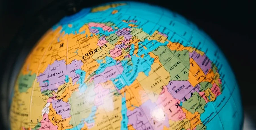
The United Nations General Assembly recently endorsed a new global map. This groundbreaking move aims to highlight Africa’s true size map more accurately. A resolution on Friday saw 164 nations vote in favor of this change.
Only the United States cast a dissenting vote. Six other countries abstained from the measure. This new cartographic projection is known as the Equal Earth map.
This projection offers a far more precise representation of continental landmasses. Several African countries spearheaded the resolution. They sought to improve the world’s cartographic accuracy.
The resolution encourages adoption of the Equal Earth projection. It aims to replace the long-used Mercator projection. Created in 1569, the Mercator map distorts relative land sizes.
For instance, landmasses near the Earth’s poles appear disproportionately large. Conversely, regions near the equator seem smaller than they are. This projection famously makes Greenland look almost as large as Africa.
However, the African continent is actually about 14 times larger than Greenland. This significant discrepancy is finally addressed by the new map.
Robert Dussey, Togo’s foreign minister, stressed the profound impact of maps. They shape our understanding and influence collective perceptions. He added that the Mercator projection’s prevalence stems from colonization. The world is changing, and Africa is changing too.
Togo plans to update its school maps by year-end. France, a co-sponsor, also committed to abandoning the Mercator projection. French Foreign Minister Jean-Noel Barrot called the correction “an act of truth.”
An online campaign, #CorrectTheMap, highlighted Africa’s immense scale. It noted that the United States, China, India, Japan, Mexico, and much of Europe could all fit within Africa’s borders with space to spare. This vividly illustrates Africa’s true size.
The United States, by contrast, criticized the Equal Earth projection. It labeled the initiative an “ideological agenda.” US representative Yaryna Ferencevych argued it diverted attention from “genuine problems.”
She suggested the UN body was debating “map projects from the 16th century.” This, she implied, distracted from issues of peace and prosperity. Estonia, Georgia, Lithuania, Morocco, Serbia, and Ukraine abstained from the vote.
Crucially, the UN General Assembly vote is not legally binding. It does not challenge the Mercator projection’s use for maritime or aerial navigation. For those purposes, it remains entirely suitable.